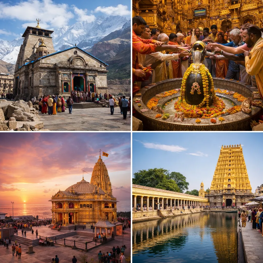
Somewhere after Rishikesh, when the plains quietly disappear in your rearview mirror and the road starts doing that familiar mountain thing, winding and dipping without asking for permission, you realise something.
This is not just a drive.
This is a slow surrender.
Kedarnath yatra planning by road is less about kilometres and more about patience. The road teaches you early. It doesn’t rush. It doesn’t explain itself. It just keeps going, bend after bend, sometimes smooth, sometimes broken, always asking you to slow down and pay attention.
And if you’re listening, really listening, the journey starts long before the trek.
Why Kedarnath Yatra Planning by Road Is Different
Let’s be honest for a second.
Anyone can look up a route map. Anyone can punch “how to reach Kedarnath by road” into Google and get directions. But driving to Kedarnath is not the same as understanding the road to Kedarnath.
This route has rules. Checkpoints. Weather moods. Long pauses where nothing moves except clouds. If you don’t plan for those realities, the journey can feel overwhelming. If you do, it feels grounded.
That’s why kedarnath yatra planning by road needs a different mindset. You’re not chasing time. You’re moving with terrain.
Kedarnath Yatra Planning by Road Starts With Registration Checks
Before the wheels even touch the hills, there’s paperwork. Not exciting. Still important.
Every pilgrim must complete registration through the Uttarakhand Tourist Safety Management System. Once registered, you get a Yatra Registration Letter with a QR code or a unique SMS ID.
This isn’t something you “show once and forget.”
You’ll be asked for it again. And again. At different points along the road. Quiet checkposts where the mountains seem to be watching too.
So yes, keep it handy. Phone copy. Printed copy. Both, if you’re sensible. Because networks fade exactly when you need them most.
Kedarnath Yatra Planning by Road and Official Driving Time Rules
Now, something people underestimate. Time.
The Uttarakhand Transport Department clearly advises against driving on hill roads before 5 AM and after 7 PM. And once you’ve done this route, you’ll understand why.
Fog creeps in. Headlights scatter instead of illuminate. Fatigue hits harder on narrow roads. This isn’t a rule meant to restrict you. It’s there to protect you.
So while planning your road journey, plan your halts too. Start early. Stop before dark. The mountain always prefers daylight conversations.
How to Reach Kedarnath by Road Until the Last Motorable Point
Here’s a question that comes up a lot.
“Gaadi Kedarnath tak jaati hai kya?”
No.
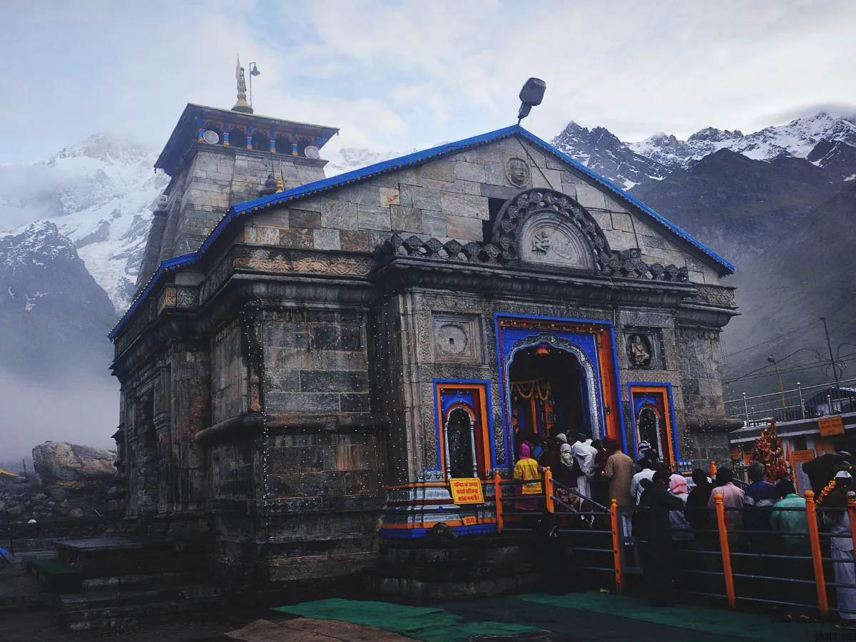
Officially, the road ends at Gaurikund. That’s it. That’s the last point where tyres roll forward. After that, the journey shifts gears. Literally and metaphorically.
Understanding this is crucial when figuring out how to reach Kedarnath by road. Because Gaurikund is not just a location. It’s a transition. From vehicle to foot. From road to resolve.
Kedarnath Road Route and National Highway Context

For those who like clarity on maps, here it is.
The kedarnath road route runs along National Highway 109, connecting Rudraprayag to the Kedarnath region. This is why traffic builds up during peak season. Everyone is on the same thread of road, moving slowly, carefully.
Knowing this helps manage expectations. It explains delays. It explains congestion. And it reminds you that sometimes, waiting is part of the journey.
Haridwar to Kedarnath Route by Road
If you’re starting from Haridwar, you’re in familiar pilgrim territory.
Officially, buses and taxis to Gaurikund are available from Haridwar. It’s a common starting point. You’ll find fellow yatris here, bags packed similarly, eyes holding the same mix of anticipation and uncertainty.
The Haridwar to Kedarnath route is well trodden. Which doesn’t mean easy. It just means you won’t be alone on it.
Rishikesh to Kedarnath Road Trip Planning
Rishikesh feels like a threshold city. Part spiritual hub, part logistical base.
It’s the nearest railway station for Kedarnath, and from here, the Rishikesh to Kedarnath road trip begins in earnest. Taxis and buses are available. Roads start climbing soon after.
This stretch often feels deceptively calm at first. Wide roads. River views. And then, slowly, the mountains tighten their grip. It’s subtle. But unmistakable.
Airport to Road Transfer for Kedarnath Yatra by Road
Flying in? The road still waits for you.
Jolly Grant Airport is the nearest airport, and from there, Gaurikund is connected by motorable roads. Taxis are available, yes. But don’t mistake this for a short hop.
Even if you arrive by air, the road journey remains long, winding, and deeply immersive. There are no shortcuts here. Only different starting points.
Kedarnath Yatra Planning by Road Ends at Gaurikund
Reaching Gaurikund feels like a quiet milestone.
Officially, it’s the start of the 16 km trek to Kedarnath. Unofficially, it’s where most people take a deep breath and reassess themselves.
The road journey ends here. But the yatra doesn’t pause. It simply changes form. From sitting to walking. From observing to participating.
Sonprayag’s Role in the Kedarnath Road Journey
Before Gaurikund, there’s Sonprayag.
It’s one of those places you pass through without fully realising its importance until later. Officially, it’s an en route location to Kedarnath. Spiritually, it’s a meeting point. Rivers, routes, pilgrims.
Many people stop briefly. Some longer. Either way, Sonprayag quietly marks the shift from transit to intention.
Health and Altitude Awareness During Road Travel
Altitude doesn’t announce itself. It just shows up.
Even during the road journey, as elevation increases, the body starts adjusting. Sometimes smoothly. Sometimes not.
Official health advisories talk about low oxygen, extreme cold, high UV exposure, low humidity. These aren’t abstract risks. You feel them in your breathing. In your sleep. In how quickly you tire.
So pace yourself. Drink water. Rest when needed. The road is already preparing you for what lies ahead.
Road Journey Disruptions and Landslide Reality
Now, the part no one likes to talk about. But everyone should.
Landslides happen. Routes get blocked. Movement stops. Sometimes for hours. Sometimes for days.
Verified reports confirm disruptions between Sonprayag and Gaurikund due to landslides. This isn’t rare. It’s part of mountain life.
That’s why kedarnath yatra planning by road should always include buffer days. Flexibility is not poor planning. It’s intelligent planning.
Char Dham Pariyojana and Road Connectivity Experience
You’ll hear a lot about the Char Dham Pariyojana while on this route.
Officially, it covers 889 km and includes 53 civil works aimed at improving connectivity. And yes, many stretches are better now. Wider. Smoother. More stable.
But mountains still have the final say. Improved roads don’t eliminate weather, terrain, or congestion. They simply make recovery easier.
Future Changes Affecting Kedarnath Road Journey
There’s talk of the future everywhere on this route.
A Sonprayag to Kedarnath ropeway, approved and planned, aims to reduce travel time dramatically. From long hours to under an hour. A proposed 7 km tunnel between Chaumasi and Sonprayag is also meant to reduce congestion and improve safety.
These projects explain why the current journey feels stretched. It’s a route in transition. Between old rhythms and new infrastructure.
For references related to Kedarnath Yatra road travel, see Tirth .com.