Chandrashila

Chandrashila, Chopta, Rudraprayag District, Uttarakhand, India
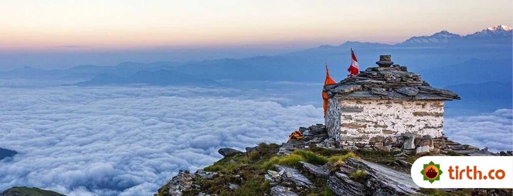
Chandrashila, meaning 'Moon Rock,' is the summit above the Tungnath temple in the Garhwal Himalayas. It stands at an elevation of approximately 3,690 meters and offers breathtaking views of the Himalayan peaks including Nandadevi, Trisul, Kedar Peak, Bandarpunch, and Chaukhamba. The trek to Chandrashila is a popular route among trekkers and is known for its spiritual significance, being associated with legends of Lord Rama and the moon-god Chandra.
Details
Special Note:
- No accommodation or camping is allowed at the peak; descent to Tungnath or Chopta is necessary for lodging.
- Food is available only at Tungnath during the temple's open season (May to October) and at Chopta otherwise.
How to Reach Chandrashila
 Transportation
 Emergency Contact
Reach by Air
The nearest airport is Jolly Grant Airport in Dehradun, approximately 226 km away.
Reach by Train
The nearest railhead is Rishikesh, situated about 209 km away.
Reach by Road
Local transport options include hiring taxis or taking buses from Rishikesh or Ukhimath to Chopta.
Blogs related to Chandrashila

Frequently Asked Questions
FAQ stands for frequently asked questions. It's a page on a website that provides quick answers to common questions from customers and other visitors.

